Sunday, June 5, 2022
07:00
o'clock
Route
The route runs through Pchelina, situated about 8 kilometers to the south of Razgrad, as well as the neighboring forests and fields. Almost the whole route is in the forest, along dirt paths and unpaved roads, only a small portion is on pavement or asphalt. Swimming takes place in Pchelina lake - 2 with start / finish on the beach on the lake.
Pchelina and the neighboring land encompass about 70 square kilometers made up mainly by forests. Nature here has been conserved, while at the same time there are walking paths and access roads. The area has been studied, mapped and has marked sights of interest. In the forest you can see wild animals – mostly deer, rabbits, and more rarely wild boar. Pchelina is a part of a protected area, "Ostrovche" BG0000173. The terrain is diverse, the sights are beautiful and are a great illustration of ‘Ludogorie’ (Wild Forests).
The start / finish meadow is located next to the asphalt road in the Pchelina area, as soon as both lakes are passed, coming from Razgrad. The coordinates of the start / finish meadow are 43°28'26.25"N 26°28'8.17"E. The route will be marked with strips and signs, and where possible- with drawn arrows. Here you can find information on how to get to the starts.
Description of the routes:
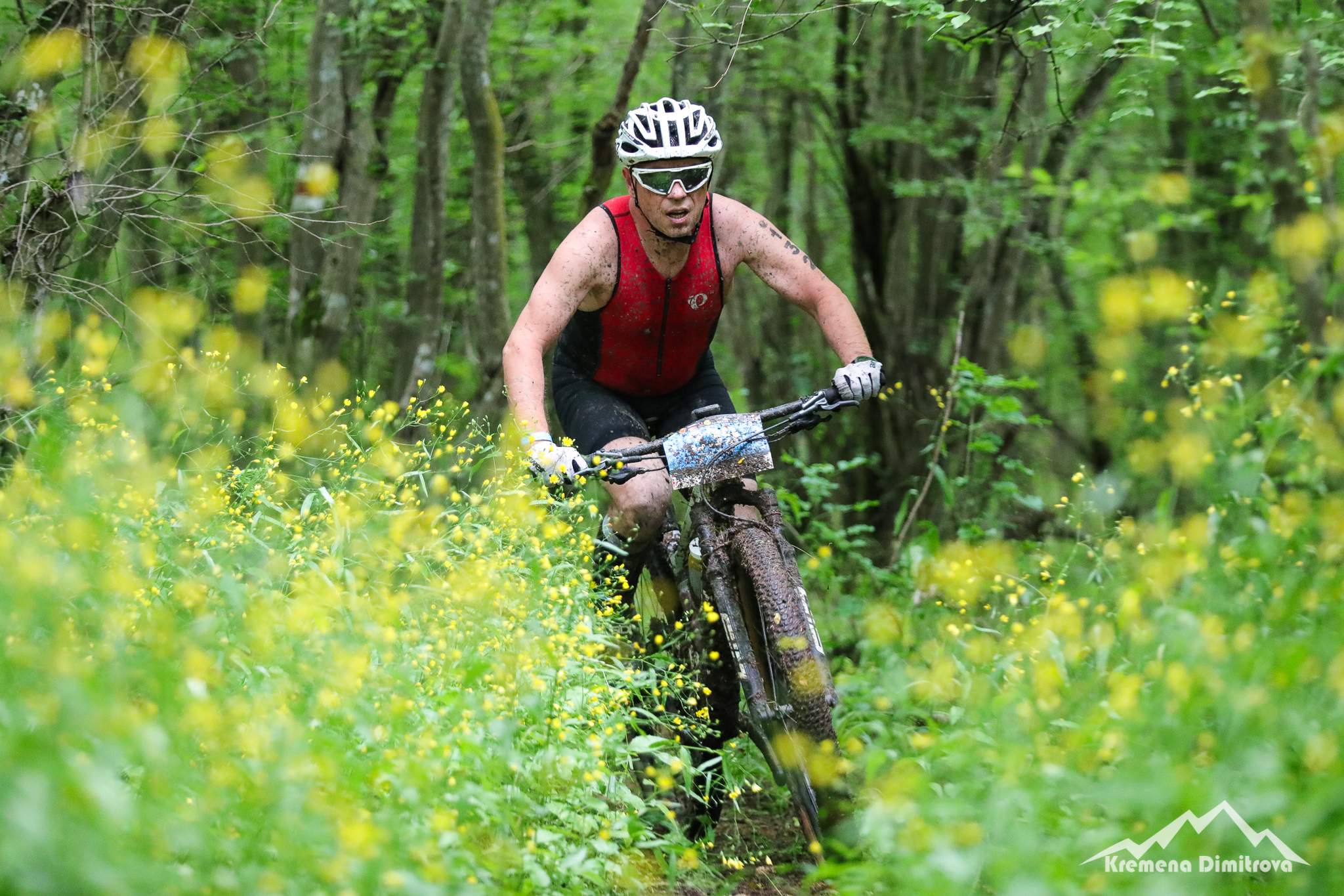
35 km running: The first part of this route coincides completely with the route of 21 km run (see its description above). After passing through the start / finish at about 21 km, the route continues towards the lakes where it turns right on a bridge, exits on a terraced path along the lakes, passes along the lake wall and along the beach of Pchelina - 2 lake, crosses the asphalt road and starts climbing a forest path, exits the panoramic part above the lakes, passes a ravine and continues on a terraced slope trail, after another gorge follows a short steep climb and a forest trail. At the first crossing through Aid station 4. a right turn is made, continue on a forest road, after a left and then a right turn there is a descent to Studenets, followed by a left turn and movement on a sloping open meadow, right turn and climb to the ridge.Here the route is divided into cyclists and runners and the runners make a left turn. After 300 meters along the ridge, make a left turn again, descend on a dug road, follow a right turn, climb, left turn at a forest crossroads and move on a relatively horizontal road, continue right on a forest path, re-exit at Aid station 4.and right turn again. Next is a descent to the asphalt turning follows, which must be crossed. Cross the little river, follow a path and a little bridge you reach the meadow at the start / finish. The route passes eight times through Aid stations - at kilometers 4.5, 10, 15, 21, 27 and 33. At the 27th and 33rd kilometers is located the same Aid station, which is passed by twice. The start / finish is also a 21st kilometer Aid station. The total denivelation is 870 meters.
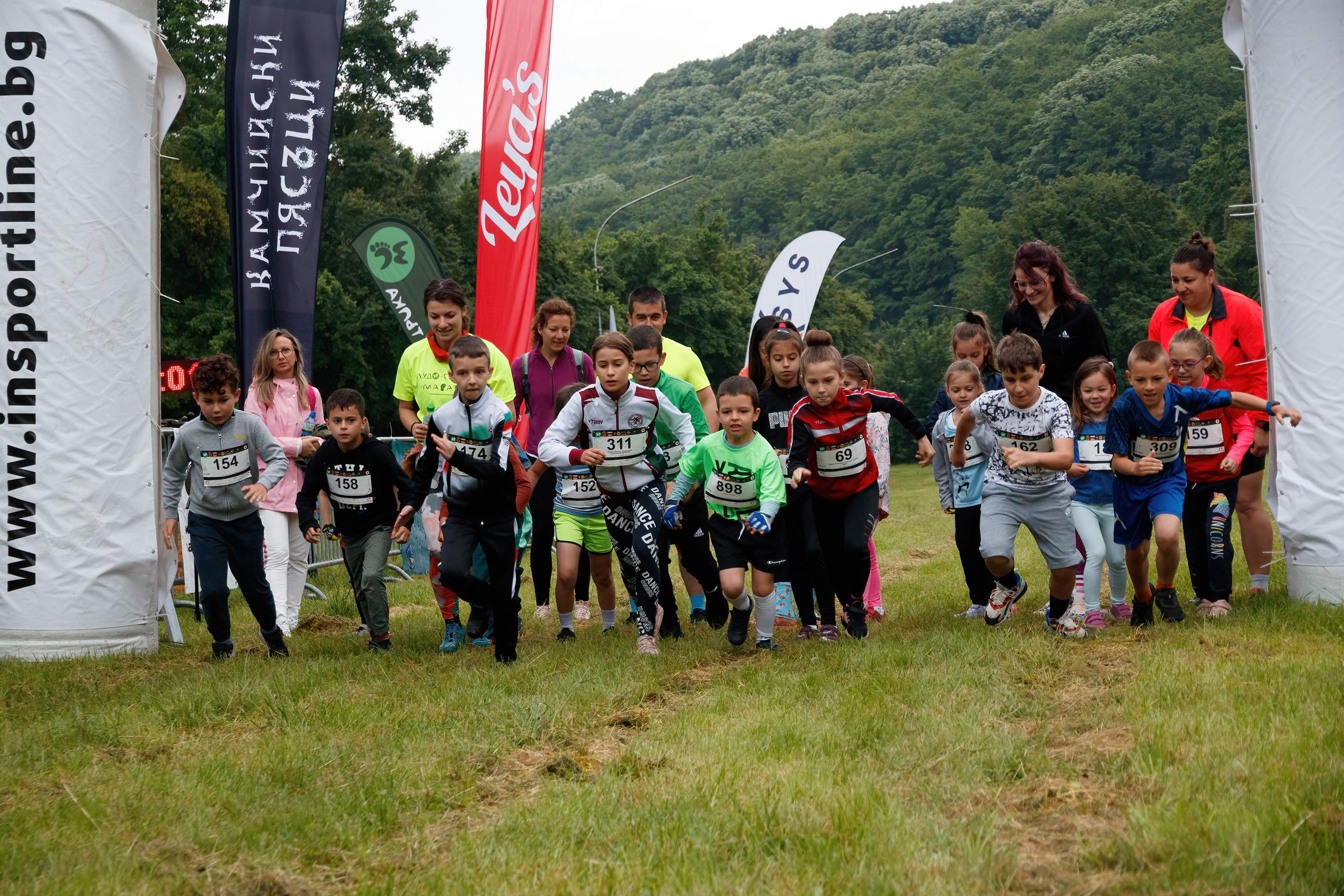
2 kilometers kids' run: Start from the playground of the recreation area "Pchelina". Left turn at the end of the meadow and continue on a bridge, then along a path, crossing an asphalt road and continuing on a forest path until you reach the point from which you return. The total denivelation is 20 meters.
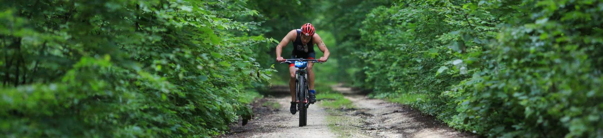
42 km cycling: The route coincides with that of 42 km running, with the difference that at about 21 km the runners turn left and go down a steep path to go through the Start / Finish, while the cyclists continue on the path forward and they descend later, thus avoiding an intermediate passage through the Start / Finish. After the descent, the route for runners and cyclists coinsides. For a description of the route, see above the description of the route for 42 km of running. The route passes seven times through a Aid Stations - at kilometers 4.5, 10, 15, 27, 31, 35 and 39.
At the 27th and 39th kilometers is the same Aid Station, which is crossed twice. At kilometers 4.5 and 35 you also pass through the same Aid Station. The total denivelation is 1220 meters.
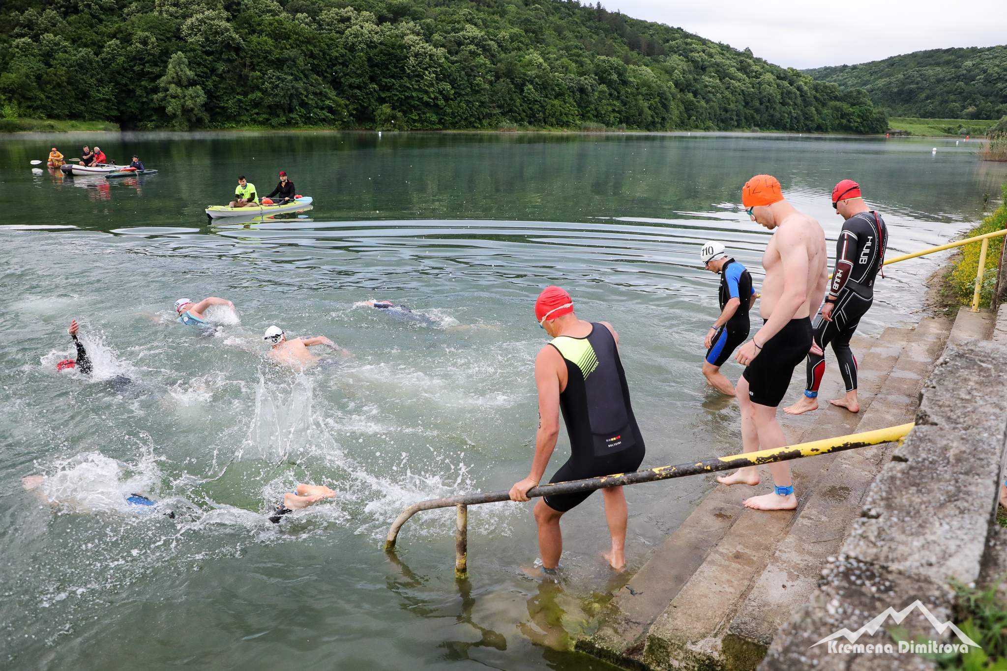
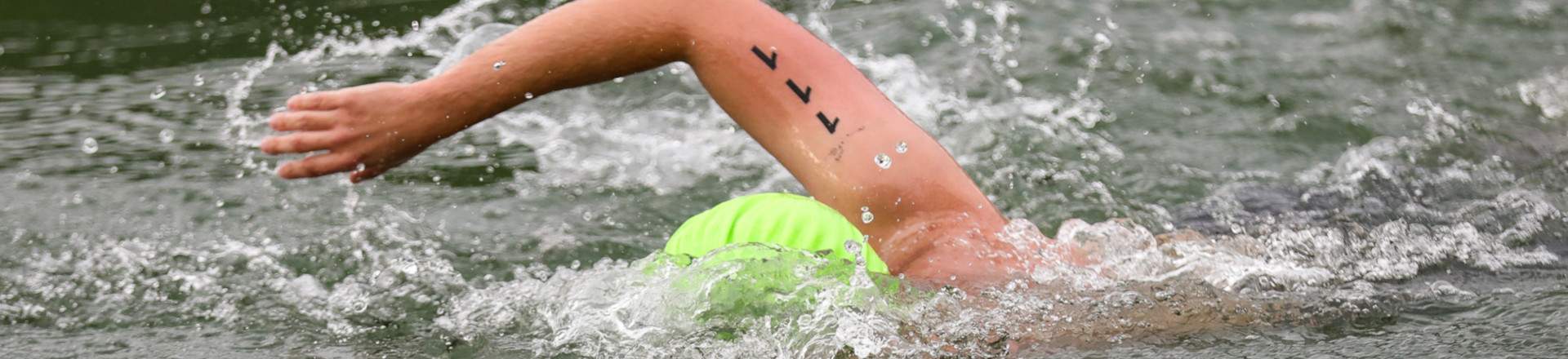
1200 meters swimming (as part of triathlon): The swimming for the triathlon discipline will be held in Pchelin-2 lake. The coordinates are 43°29'27.62"N 26°28'13.30"E. Swimmers perform one round of the lake, starting from the beach.
44 km cycling (as part of a triathlon): The start is from the beach of Pchelina -2 lake. The route passes along the lake wall and along the terraced paths along the two lakes. After leaving the meadow, where the start / finish of the other disciplines is, the route completely coincides with the route of 42 km of cycling. The total denivelation is 1260 meters. For more information, see the description of the 42 km cycling route above.
13 km run (individually and as part of a triathlon): After the start the route continues forward in the direction of the lakes, where it turns right on a bridge, exits on a terraced path along the lakes, passes along the lake wall and along the beach of Pchelina - 2 lake, crosses the asphalt road and starts climbing on a forest path, crosses a ravine and continues on a terraced forest path.
At the first going through the Aid station 4. (kilometer 5.5) make a right turn and continue along a forest road, after a left and then a right turn there is a descent to Studenets, followed by a left turn and movement on a sloping open meadow, right turn and ascent to the ridge. Here the route is divided into cyclists and runners and the runners make a left turn. After 300 meters along the ridge, make a left turn again, descend on a dug road, follow a right turn, climb, left turn at a forest crossroads and drive on a relatively horizontal road, continue right on a forest path, new exit (kilometer 11) and right turn again. Next is a descent to the asphalt turning, which intersects. Cross the river and on the path and bridge you reach the meadow at the start / finish. The total denivelation is 260 meters.