

Sunday, June 28, 2026
07:30
o'clock
Route
The route runs through Pchelina, situated about 8 kilometers to the south of Razgrad, as well as the neighboring forests and fields. Almost the whole route is in the forest, along dirt paths and unpaved roads, only a small portion is on pavement or asphalt. Swimming takes place in Pchelina lake - 2 with start / finish on the beach on the lake.
Pchelina and the neighboring land encompass about 70 square kilometers made up mainly by forests. Nature here has been conserved, while at the same time there are walking paths and access roads. The area has been studied, mapped and has marked sights of interest. In the forest you can see wild animals – mostly deer, rabbits, and more rarely wild boar. Pchelina is a part of a protected area, "Ostrovche" BG0000173. The terrain is diverse, the sights are beautiful and are a great illustration of ‘Ludogorie’ (Wild Forests).
The start / finish meadow is located next to the asphalt road in the Pchelina area, as soon as both lakes are passed, coming from Razgrad. The coordinates of the start / finish meadow are 43°28'26.25"N 26°28'8.17"E. The route will be marked with strips and signs, and where possible- with drawn arrows. Here you can find information on how to get to the starts.
Description of the routes:
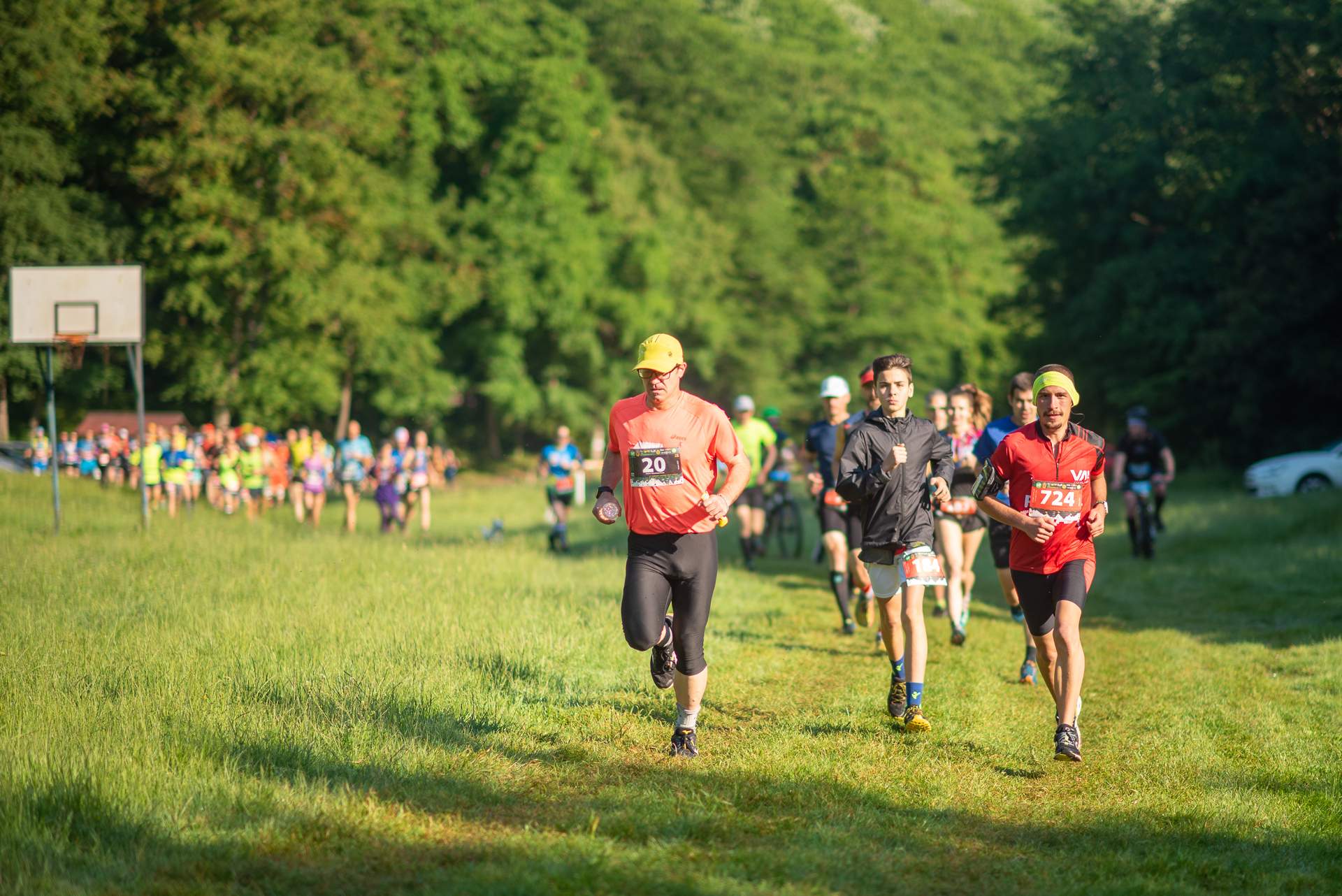
25 km Running: Start from the recreation field at the “Pchelina” Recreation Area. After leaving the field, the route continues on asphalt and then on a gravel road through the forest. From the first checkpoint (Makadama), turn right onto a forest dirt road, followed by a descent passing by Konska Polyana. The descent continues through Dermen Dere, past Dyadomineva Fountain, to a left turn near the Tourist Fountain and the Gligan hunting shelter (second checkpoint). The route continues along a ravine through the forest, briefly exits into an open area, and then re-enters the forest with a right turn. A long climb follows to the heights above the village of Miladinovtsi (the highest point of the course), followed by a descent toward the village. Upon reaching the third checkpoint (Miladinovtsi), make a sharp left turn. A steep climb on a forest road follows, passing through Golyamata Polyana, then descending through a ravine with a forest pool, climbing and descending through a game field with a hunting tower, and descending along a trail toward Bezhana Fountain. Another climb leads to the fourth checkpoint at the entrance of the village of Ostrovche. The course continues uphill along the village, briefly joins the gravel road, re-enters the forest, and descends on a dirt road that turns into a trail. Cross a small river, climb again, continue along a forest trail, and finish with a steep descent onto the start/finish meadow for the final 500 meters.
There are 4 aid stations located at kilometers 4, 7, 13, and 18. Total elevation gain: 650 meters.
Download 25_km_Run_Ludogorski_Marathon.gpx
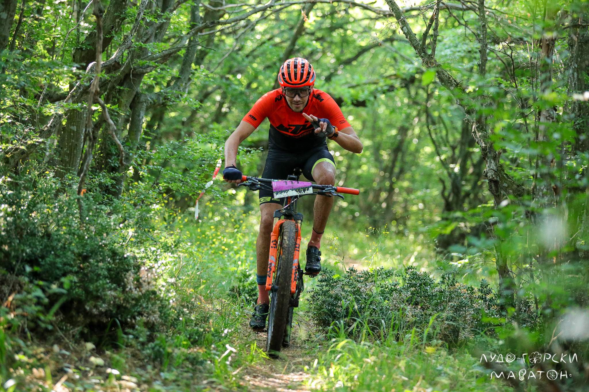
25 km Mountain Biking (also part of the Duathlon): Start from the recreation field at the “Pchelina” Recreation Area. After leaving the field, the route continues on asphalt and then on a gravel road through the forest. From the first checkpoint (Makadama), turn right onto a forest dirt road, followed by a descent passing by Konska Polyana. The descent continues through Dermen Dere, past Dyadomineva Fountain, to a left turn near the Tourist Fountain and the Gligan hunting shelter (second checkpoint). The route continues along a ravine through the forest, briefly exits into an open area, and then re-enters the forest with a right turn. A long climb follows to the heights above the village of Miladinovtsi (the highest point of the course), followed by a descent toward the village. Upon reaching the third checkpoint (Miladinovtsi), make a sharp left turn. A steep climb on a forest road follows, passing through Golyamata Polyana, then descending through a ravine with a forest pool, climbing and descending through a game field with a hunting tower, and descending along a trail toward Bezhana Fountain. Another climb leads to the fourth checkpoint at the entrance of the village of Ostrovche. The route continues uphill along the village, briefly joins the gravel road, re-enters the forest, and descends on a dirt road that turns into a trail. Cross a small river, climb again, continue along a forest trail, and finish with a steep descent and crossing a small bridge before the finish line.
There are 4 aid stations located at kilometers 4, 7, 13, and 18. Total elevation gain: 650 meters.
Download 25K_MTB_Ludogorski_2026.gpx
27 km Mountain Biking (part of the Triathlon): Start from the beach at Pchelina Reservoir-2 and continue on the asphalt road toward the recreation field at the “Pchelina” Recreation Area. Pass by the field and reach the gravel road in the forest. From the first checkpoint (Makadama), turn right onto a forest dirt road, followed by a descent passing by Konska Polyana. The descent continues through Dermen Dere, past Dyadomineva Fountain, to a left turn near the Tourist Fountain and the Gligan hunting shelter (second checkpoint). The route continues along a ravine through the forest, briefly exits into an open area, and then re-enters the forest with a right turn. A long climb follows to the heights above the village of Miladinovtsi (the highest point of the course), followed by a descent toward the village. Upon reaching the third checkpoint (Miladinovtsi), make a sharp left turn. A steep climb on a forest road follows, passing through Golyamata Polyana, then descending through a ravine with a forest pool, climbing and descending through a game field with a hunting tower, and descending along a trail toward Bezhana Fountain. Another climb leads to the fourth checkpoint at the entrance of the village of Ostrovche. The route continues uphill along the village, briefly joins the gravel road, re-enters the forest, and descends on a dirt road that turns into a trail. Cross a small river, climb again, continue along a forest trail, and finish with a steep descent and crossing a small bridge before the finish line.
There are 4 aid stations located at kilometers 6, 9, 15, and 21. Total elevation gain: 650 meters.
Download27K-MTB-tri-Ludogorski2026.gpx
11 km Running (individual and part of the Duathlon):
Start from the recreation field at the “Pchelina” Recreation Area. For duathlon participants, this means that after leaving their bicycles, they continue forward again in the same direction in which they started the cycling segment. After leaving the field, the route briefly follows an asphalt road before climbing on a gravel road through the forest. Pass through the first checkpoint (Makadama) and continue on the gravel road for about one kilometer. The course briefly exits near the forest edge and then enters the forest to the left on a dirt road that becomes a trail. Cross a small river, briefly rejoin the asphalt road, then continue right on a climbing trail. Continue along a forest trail followed by a steep descent back to the start/finish meadow for the final 500 meters.
Total elevation gain: 240 meters.
Download 11_km_Ludogorski_Marathon.gpx
2 km Children’s Run: Start toward Pchelina Reservoir-1, cross a small bridge, and continue along the trail above the reservoir before returning along the same route.
Total elevation gain: 10 meters.
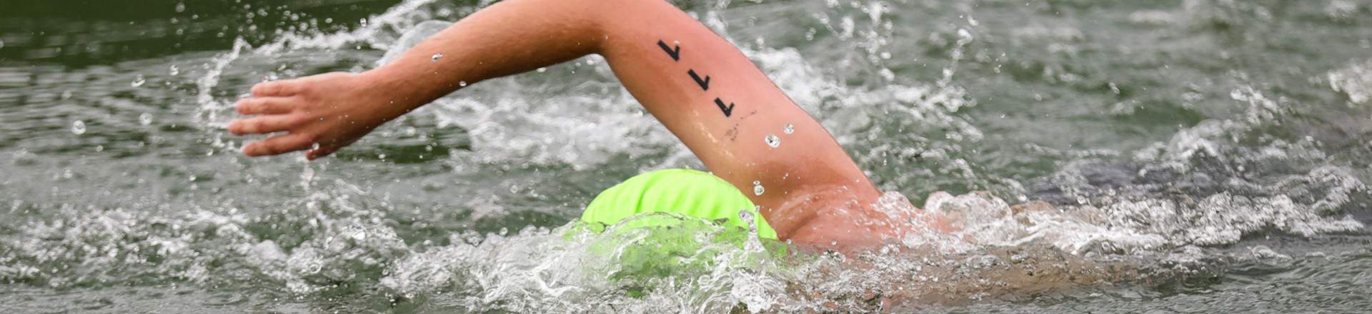
1 km Swimming (part of the Triathlon): Start from the stairs at the beach of Pchelina Reservoir-2 and continue straight ahead. Upon reaching the first large orange buoy, make a right turn, keeping the buoy on your right side. Continue in a straight line following the course marked by white buoys. Reach the second large orange buoy near the tail of the reservoir and make another right turn, again keeping the buoy on your right side. Immediately after that, reach the third large orange buoy and make yet another right turn, again keeping the buoy on your right side. Continue straight ahead following the line of white buoys to the finish.
The white buoys may be passed on either side. The large orange buoys must be passed only on the left side, so that the swimmer’s right shoulder is closer to the buoy while passing it. The course is clockwise. All turns are right turns, except for the final turn when exiting the water.